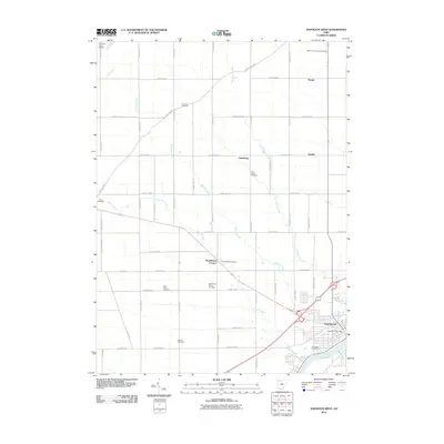
2010 Map of Napoleon West
USGS Topo · Published 2010About this map
The Maumee River corridor defines the southeastern corner of this landscape, where the town of Napoleon serves as a regional hub. North of the river, the terrain is shaped by an intricate drainage system including Garrett Creek, Van Hyning Creek, and Oberhaus Creek. This area of Henry County is characterized by a dense network of county roads and numerous small settlements such as Bostelmans Corners, Naomi, and Lueneburg.
Find a feature on this map
50 named features on this map. Tap any name to fly to it.
Don’t see what you’re looking for? This feature index may not catch every label — zoom into the map to look around manually.
Map Details
Editions of this 2010 Napoleon West Map
This is the sole edition of this map. No revisions or reprints were ever made.
Other maps of this area

1907 · Defiance
USGS Topo · 1:62,500

1908 · Napoleon
USGS Topo · 1:62,500

1909 · Defiance
USGS Topo · 1:62,500

1911 · Wauseon
USGS Topo · 1:62,500

1913 · Wauseon
USGS Topo · 1:62,500

1913 · Alvordton
USGS Topo · 1:62,500

1943 · Wauseon
USGS Topo · 1:62,500

1944 · Alvordton
USGS Topo · 1:62,500

1953 · Fort Wayne
USGS Topo · 1:250,000

1956 · Fort Wayne
USGS Topo · 1:250,000