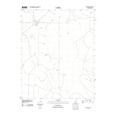
2010 Map of Nara Visa
USGS Topo · Published 2010About this map
Nara Visa serves as the primary hub in this corner of Quay County, defined by its position along the railroad and the vital presence of the Nara Visa Post Office. This high-plains landscape is etched by the intricate drainage systems of Horse Creek and its branches, including North Fork Horse Creek and South Fork Horse Creek, which carve their way toward Sidle Canyon.
Find a feature on this map
38 named features on this map. Tap any name to fly to it.
Don’t see what you’re looking for? This feature index may not catch every label — zoom into the map to look around manually.
Map Details
Editions of this 2010 Nara Visa Map
This is the sole edition of this map. No revisions or reprints were ever made.
Other maps of this area
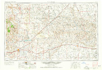
1954 · Tucumcari
USGS Topo · 1:250,000
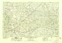
1958 · Tucumcari
USGS Topo · 1:250,000
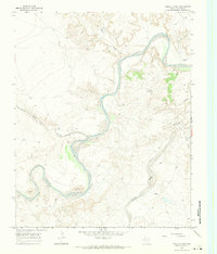
1966 · Trujillo Camp
USGS Topo · 1:24,000
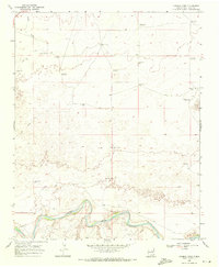
1968 · Cammak Camp
USGS Topo · 1:24,000
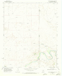
1968 · Sanchez Springs
USGS Topo · 1:24,000
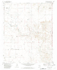
1971 · Kerlin Hill
USGS Topo · 1:24,000
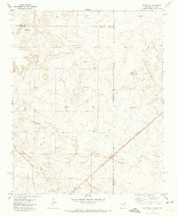
1971 · Doyle Hill
USGS Topo · 1:24,000
1971 · Obar
USGS Topo · 1:24,000
1971 · Nara Visa
USGS Topo · 1:24,000
1971 · Knoblaw
USGS Topo · 1:24,000