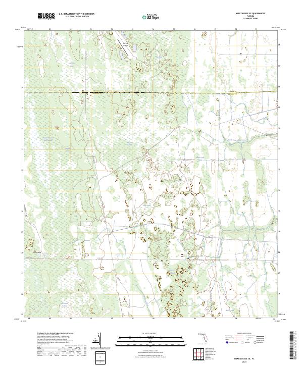
2024 Map of Narcoossee SE
USGS Topo · Published 2024About this map
Econlockhatchee River Swamp and Fourmile Swamp dominate this low-lying landscape along the border of Orange and Osceola counties. The map reflects a region defined by complex hydrology, where named depressions and water bodies like Hell Bays, Raulson Head, and Islet Pond punctuate the dense wetland terrain. The intricate network of the South Fork Taylor Creek and North Fork Taylor Creek indicates the seasonal movement of water across this flat interior.
Find a feature on this map
32 named features on this map. Tap any name to fly to it.
Don’t see what you’re looking for? This feature index may not catch every label — zoom into the map to look around manually.
Map Details
Editions of this 2024 Narcoossee SE Map
This is the sole edition of this map. No revisions or reprints were ever made.
Other maps of this area

1953 · Narcoossee NE
USGS Topo · 1:24,000

1953 · Narcoossee SE
USGS Topo · 1:24,000

1953 · Narcoossee
USGS Topo · 1:24,000

1953 · Deer Park NW
USGS Topo · 1:24,000

1953 · Lake Poinsett SW
USGS Topo · 1:24,000

1953 · Ashton
USGS Topo · 1:24,000

1953 · Holopaw
USGS Topo · 1:24,000

1953 · Lake Poinsett NW
USGS Topo · 1:24,000

1953 · Narcoossee NW
USGS Topo · 1:24,000

1955 · Orlando
USGS Topo · 1:250,000