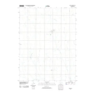
2009 Map of Narka
USGS Topo · Published 2009About this map
Narka sits at the heart of this Republic County landscape, where the town's grid provides a rare point of dense human activity amidst an expansive network of rural section roads. The terrain is defined by the subtle drainage patterns of Cherry Creek and Humphrey Branch, which carve winding paths through the agricultural fields. Notable for genealogists and local historians, the area is home to both the Ida Cemetery in the west and the National Cemetery to the south. These sites, along with the precise alignment of county roads such as Co RD B and Co RD 30, reflect a long-established rural infrastructure that has supported this community since the initial settlement era. The map provides a clear view of how small-town life and agriculture are integrated with the natural waterways, including Elm Creek and the headwaters of North Fork Mill Creek.
Find a feature on this map
21 named features on this map. Tap any name to fly to it.
Don’t see what you’re looking for? This feature index may not catch every label — zoom into the map to look around manually.
Map Details
Editions of this 2009 Narka Map
This is the sole edition of this map. No revisions or reprints were ever made.
Other maps of this area

1892 · Concordia
USGS Topo · 1:125,000

1893 · Washington
USGS Topo · 1:125,000

1898 · Hebron
USGS Topo · 1:125,000

1955 · Manhattan
USGS Topo · 1:250,000

1955 · Lincoln
USGS Topo · 1:250,000

1956 · Manhattan
USGS Topo · 1:250,000

1957 · Manhattan
USGS Topo · 1:250,000

1957 · Lincoln
USGS Topo · 1:250,000

1958 · Lincoln
USGS Topo · 1:250,000

1960 · Chester
USGS Topo · 1:24,000