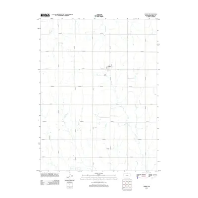
2012 Map of Narka
USGS Topo · Published 2012About this map
The town of Narka serves as the central hub of this Republic County landscape, located in the north-central portion of the quadrangle. As captured in 2012, the community maintains its organized grid around E St, while the local Po marks the commercial center. The surrounding rural landscape is defined by the headwaters and tributaries of several drainage systems, including Cherry Cr, Elm Cr, and Humphrey Br. These waterways cut through a predominantly agricultural grid of county roads, such as Co Hwy D and Co Road J. In the southern reaches, the National Cem provides a significant anchor for local genealogists and family researchers, situated just north of where the N Fork Mill Cr winds through the terrain. The map illustrates a classic Great Plains settlement pattern where small-town life and rural cemeteries are interconnected by an extensive network of sections and township roads.
Find a feature on this map
25 named features on this map. Tap any name to fly to it.
Don’t see what you’re looking for? This feature index may not catch every label — zoom into the map to look around manually.
Map Details
Editions of this 2012 Narka Map
This is the sole edition of this map. No revisions or reprints were ever made.
Other maps of this area

1892 · Concordia
USGS Topo · 1:125,000

1893 · Washington
USGS Topo · 1:125,000

1898 · Hebron
USGS Topo · 1:125,000

1955 · Manhattan
USGS Topo · 1:250,000

1955 · Lincoln
USGS Topo · 1:250,000

1956 · Manhattan
USGS Topo · 1:250,000

1957 · Manhattan
USGS Topo · 1:250,000

1957 · Lincoln
USGS Topo · 1:250,000

1958 · Lincoln
USGS Topo · 1:250,000

1960 · Chester
USGS Topo · 1:24,000