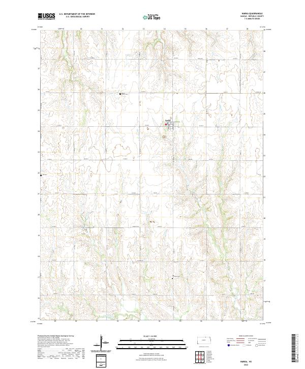
2022 Map of Narka
USGS Topo · Published 2022About this map
Narka sits at the heart of this Republic County landscape, where the Jeffersonian grid of the Public Land Survey System defines the rural character of Northern Kansas. The town is oriented around the intersection of Main St and Cottonwood St, surrounded by a network of sectional roads like Elm Rd and Granite Rd. For genealogists and local historians, several burial grounds are scattered throughout the surrounding townships, including Maple Grove Cem to the northwest, Ida Cem to the west, and National Cem to the southeast. The terrain is shaped by several watercourses that carve through the agricultural fields, most notably Humphrey Br, Cherry Cr, Elm Cr, and the N Fork Mill Cr. This survey illustrates the persistent layout of Kansas farm country, where creek drainages and section-line roads dictate the placement of rural homesteads and legacy landmarks.
Find a feature on this map
36 named features on this map. Tap any name to fly to it.
Don’t see what you’re looking for? This feature index may not catch every label — zoom into the map to look around manually.
Map Details
Editions of this 2022 Narka Map
This is the sole edition of this map. No revisions or reprints were ever made.
Other maps of this area

1892 · Concordia
USGS Topo · 1:125,000

1893 · Washington
USGS Topo · 1:125,000

1898 · Hebron
USGS Topo · 1:125,000

1955 · Manhattan
USGS Topo · 1:250,000

1955 · Lincoln
USGS Topo · 1:250,000

1956 · Manhattan
USGS Topo · 1:250,000

1957 · Manhattan
USGS Topo · 1:250,000

1957 · Lincoln
USGS Topo · 1:250,000

1958 · Lincoln
USGS Topo · 1:250,000

1960 · Chester
USGS Topo · 1:24,000