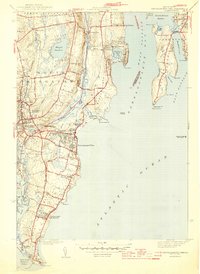
1944 Map of Narragansett Pier
USGS Topo · Published 1944About this map
Narragansett Pier and the surrounding coastal landscape of South Kingstown appear here just as the World War II era reached its midpoint. The map traces the intricate water network of the Pettaquamscutt River as it snakes behind the barrier of Bonnet Pt and Wesquage Beach, creating a series of marshes and ponds like Little Neck Pond. Further inland, the textile heritage of the region is evident in the layout of Wakefield and Peace Dale, where water bodies like Silver Lake and Indian Run Reservoir supported local development.
Find a feature on this map
63 named features on this map. Tap any name to fly to it.
Don’t see what you’re looking for? This feature index may not catch every label — zoom into the map to look around manually.
Map Details
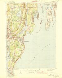
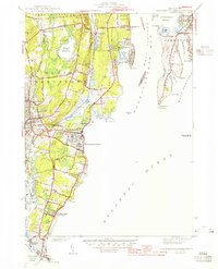
Editions of this 1944 Narragansett Pier Map
3 editions found
Other maps of this area

1889 · Charlestown
USGS Topo · 1:62,500

1889 · Newport
USGS Topo · 1:62,500

1890 · Narragansett Bay
USGS Topo · 1:62,500

1890 · Kent
USGS Topo · 1:62,500

1892 · Narragansett Bay
USGS Topo · 1:62,500

1894 · Kent
USGS Topo · 1:62,500

1894 · Newport
USGS Topo · 1:62,500

1904 · Newport
USGS Topo · 1:62,500

1919 · Charlestown
USGS Topo · 1:62,500

1919 · Narragansett Bay
USGS Topo · 1:62,500