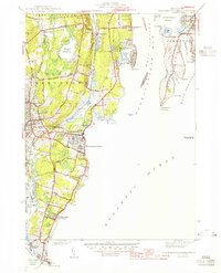
1944 Map of Narragansett Pier
USGS Topo · Published 1944About this map
Narragansett Pier and the surrounding coastline of Washington County appear here during the mobilization of the early 1940s. The map highlights the strategic military presence along the Narragansett Bay West Passage, anchored by Fort Philip Kearney to the north and the sprawling Fort Nathaniel Greene near the tip of Point Judith. Between these defenses, the landscape transitions from the developed streets of Wakefield and Peace Dale to the coastal summer colonies of Bonnet Shores and Scarborough State Beach.
Find a feature on this map
91 named features on this map. Tap any name to fly to it.
Don’t see what you’re looking for? This feature index may not catch every label — zoom into the map to look around manually.
Map Details
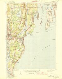
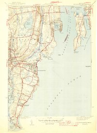
Editions of this 1944 Narragansett Pier Map
3 editions found
Other maps of this area

1889 · Charlestown
USGS Topo · 1:62,500

1889 · Newport
USGS Topo · 1:62,500

1890 · Narragansett Bay
USGS Topo · 1:62,500

1890 · Kent
USGS Topo · 1:62,500

1892 · Narragansett Bay
USGS Topo · 1:62,500

1894 · Kent
USGS Topo · 1:62,500

1894 · Newport
USGS Topo · 1:62,500

1904 · Newport
USGS Topo · 1:62,500

1919 · Charlestown
USGS Topo · 1:62,500

1919 · Narragansett Bay
USGS Topo · 1:62,500