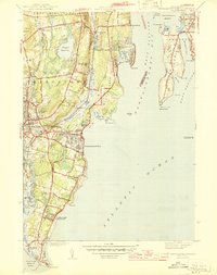
1944 Map of Narragansett Pier
USGS Topo · Published 1944About this map
Narragansett Pier and the eastern coast of South Kingstown appear in 1944 as a landscape defined by its relation to the sea and the Pettaquamscutt River. This wartime survey captures the dense coastal settlement of the Pier area just inland from Sprague Pond, contrasting with the more rural upland reaches near Rose Hill and Mooresfield. The map reveals a high concentration of recreational and maritime infrastructure, from the expansive Scarborough State Beach to the southern tip of Jamestown on Conanicut Island.
Find a feature on this map
72 named features on this map. Tap any name to fly to it.
Don’t see what you’re looking for? This feature index may not catch every label — zoom into the map to look around manually.
Map Details
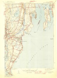
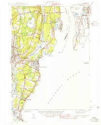
Editions of this 1944 Narragansett Pier Map
3 editions found
Other maps of this area

1889 · Charlestown
USGS Topo · 1:62,500

1889 · Newport
USGS Topo · 1:62,500

1890 · Narragansett Bay
USGS Topo · 1:62,500

1890 · Kent
USGS Topo · 1:62,500

1892 · Narragansett Bay
USGS Topo · 1:62,500

1894 · Kent
USGS Topo · 1:62,500

1894 · Newport
USGS Topo · 1:62,500

1904 · Newport
USGS Topo · 1:62,500

1919 · Charlestown
USGS Topo · 1:62,500

1919 · Narragansett Bay
USGS Topo · 1:62,500