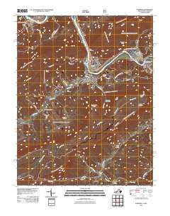
2011 Map of Narrows
USGS Topo · Published 2011About this map
The New River carves a deep path through the mountains of Giles County, centering on the town of Narrows and the gap for which it is named. This 2011 survey captures the town's position at the confluence of Wolf Creek and the river, showing a cluster of residential streets and civic landmarks including Fairview Cemetery and Woolwine Cemetery. Upstream, the Glen Lyn Flyash Dam and the settlement of Glen Lyn mark the industrial activity along the West Virginia border, while the higher elevations are defined by prominent landmarks like Angels Rest and Turnhole Knob.
Find a feature on this map
54 named features on this map. Tap any name to fly to it.
Don’t see what you’re looking for? This feature index may not catch every label — zoom into the map to look around manually.
Map Details
Editions of this 2011 Narrows Map
This is the sole edition of this map. No revisions or reprints were ever made.
Other maps of this area

1890 · Dublin
USGS Topo · 1:125,000

1891 · Dublin
USGS Topo · 1:125,000

1913 · Peterstown
USGS Topo · 1:48,000

1916 · Peterstown
USGS Topo · 1:62,500

1923 · Pearisburg
USGS Topo · 1:62,500

1925 · Peterstown
USGS Topo · 1:62,500

1932 · Peterstown
USGS Topo · 1:48,000

1932 · Pearisburg
USGS Topo · 1:48,000

1934 · Pulaski
USGS Topo · 1:48,000

1937 · Pearisburg
USGS Topo · 1:62,500