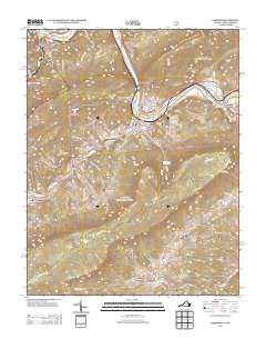
2013 Map of Narrows
USGS Topo · Published 2013About this map
New River defines the geography of this Giles County corridor, winding between Pearis Mountain and Hemlock Ridge as it flows past established settlements and valley outposts. In the town of Narrows, the confluence of Wolf Creek creates a focal point for local infrastructure, while further downstream Glen Lyn sits near the Andrew S Rowan Bridge. The landscape is marked by substantial elevation changes, ranging from the prominent lookout at Angels Rest to the low-lying Narrows Reservoir fed by Mill Creek.
Find a feature on this map
108 named features on this map. Tap any name to fly to it.
Don’t see what you’re looking for? This feature index may not catch every label — zoom into the map to look around manually.
Map Details
Editions of this 2013 Narrows Map
This is the sole edition of this map. No revisions or reprints were ever made.
Other maps of this area

1890 · Dublin
USGS Topo · 1:125,000

1891 · Dublin
USGS Topo · 1:125,000

1913 · Peterstown
USGS Topo · 1:48,000

1916 · Peterstown
USGS Topo · 1:62,500

1923 · Pearisburg
USGS Topo · 1:62,500

1925 · Peterstown
USGS Topo · 1:62,500

1932 · Peterstown
USGS Topo · 1:48,000

1932 · Pearisburg
USGS Topo · 1:48,000

1934 · Pulaski
USGS Topo · 1:48,000

1937 · Pearisburg
USGS Topo · 1:62,500