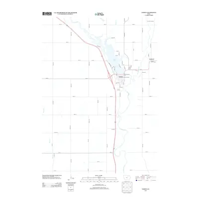
2013 Map of Nashua
USGS Topo · Published 2013About this map
Nashua sits at the convergence of the Cedar River and the Little Cedar River, a landscape defined by the expansive Cedar Lake reservoir. This 2013 survey highlights the geographic importance of the river systems in Chickasaw County, showing how the community has integrated with the water through sites like the Nashua Cedar River Access. To the northeast, the settlement of Bradford is documented alongside the Bradford Pioneer Village, an area preserving the early heritage of the region. The map details a transition from the structured residential grid of Nashua, featuring streets like Wabash Ave and Wentling St, to the surrounding agricultural prairie. Smaller locales such as Pearl Rock and Greenwood appear along the river banks, while the drainage of Gizzard Cr and Schultz Cr feeds into the central basin, illustrating the complex hydrography of the Iowa plains.
Find a feature on this map
62 named features on this map. Tap any name to fly to it.
Don’t see what you’re looking for? This feature index may not catch every label — zoom into the map to look around manually.
Map Details
Editions of this 2013 Nashua Map
This is the sole edition of this map. No revisions or reprints were ever made.
Other maps of this area

1954 · Mason City
USGS Topo · 1:250,000

1954 · Waterloo
USGS Topo · 1:250,000

1955 · Waterloo
USGS Topo · 1:250,000

1957 · Mason City
USGS Topo · 1:250,000

1958 · Mason City
USGS Topo · 1:250,000

1971 · Bremer
USGS Topo · 1:24,000

1971 · Tripoli NW
USGS Topo · 1:24,000

1971 · Plainfield
USGS Topo · 1:24,000

1971 · Charles City
USGS Topo · 1:24,000

1971 · Nashua NW
USGS Topo · 1:24,000