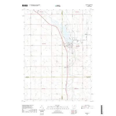
2018 Map of Nashua
USGS Topo · Published 2018About this map
Nashua and the nearby settlement of Bradford serve as the primary hubs in this northeastern Iowa landscape, situated where the Cedar River and Little Cedar River converge. The topography is defined by these winding watercourses and the impoundment of Cedar Lake, which sits at the heart of the local community. The presence of numerous burial grounds, including the Pearl Rock Catholic Cem, Saint Michaels Cem, and Greenwood Cem, points to a long-established rural population and provides significant data points for genealogical research. The map also illustrates a transition in local jurisdiction, as the township lines for t94n r14w and t94n r15w cross over the borders of Chickasaw, Floyd, Butler, and Bremer counties. This intricate network of secondary roads and section lines reveals the organized agricultural grid that continues to shape the region.
Find a feature on this map
79 named features on this map. Tap any name to fly to it.
Don’t see what you’re looking for? This feature index may not catch every label — zoom into the map to look around manually.
Map Details
Editions of this 2018 Nashua Map
This is the sole edition of this map. No revisions or reprints were ever made.
Other maps of this area

1954 · Mason City
USGS Topo · 1:250,000

1954 · Waterloo
USGS Topo · 1:250,000

1955 · Waterloo
USGS Topo · 1:250,000

1957 · Mason City
USGS Topo · 1:250,000

1958 · Mason City
USGS Topo · 1:250,000

1971 · Bremer
USGS Topo · 1:24,000

1971 · Tripoli NW
USGS Topo · 1:24,000

1971 · Plainfield
USGS Topo · 1:24,000

1971 · Charles City
USGS Topo · 1:24,000

1971 · Nashua NW
USGS Topo · 1:24,000