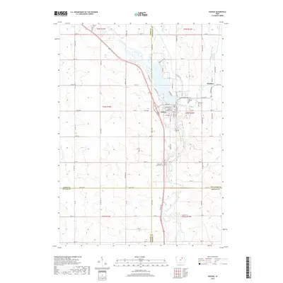
2022 Map of Nashua
USGS Topo · Published 2022About this map
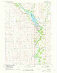
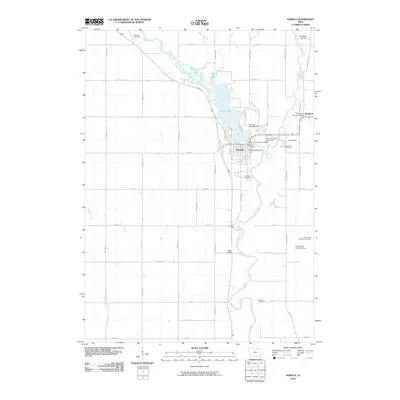
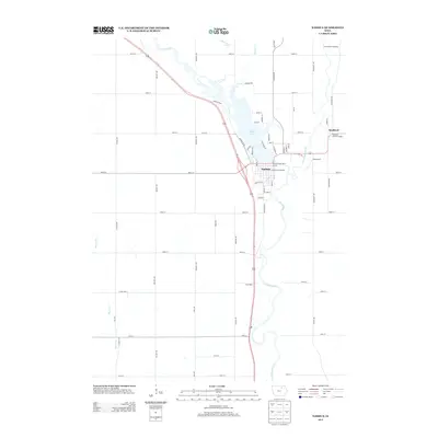
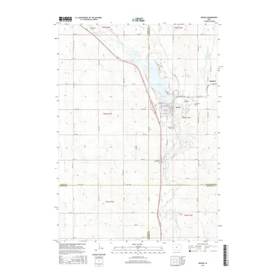
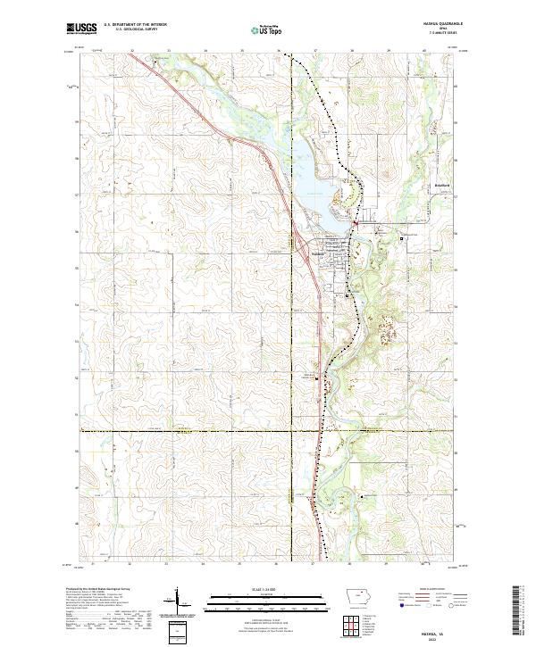
The Cedar River and Little Cedar River define the landscape around Nashua and Bradford, where the waterways converge to form Cedar Lake. This modern survey illustrates the agricultural grid of northern Iowa, marked by family-named avenues and streets that bisect four counties: Floyd, Chickasaw, Butler, and Bremer. The dense distribution of burial grounds, including Saint Michaels Cem, Greenwood Cem, and Oak Hill Cem, provides a detailed record for genealogists tracing family roots in this river valley.
Find a feature on this map
82 named features on this map. Tap any name to fly to it.
Don’t see what you’re looking for? This feature index may not catch every label — zoom into the map to look around manually.
Map Details
Editions of this 2022 Nashua Map
This is the sole edition of this map. No revisions or reprints were ever made.
Historical Maps of Nashua Through Time
6 maps found