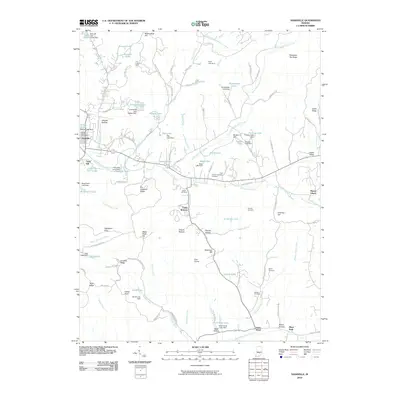
2010 Map of Nashville
USGS Topo · Published 2010About this map
Nashville serves as the primary hub in this pocket of Brown County, where the town's grid meets the winding courses of North Fork Salt Creek and Greasy Creek. The landscape is defined by its numerous ridges and hollows, such as Kin Hubbard Ridge and Weddle Hollow, reflecting a region where settlement patterns have long been dictated by the narrow valleys. A significant concentration of small-scale water management is evident through the many private and park dams, including Ogle Lake Dam and Millers Lake Dam, which create recreational and utility basins throughout the hills.
Find a feature on this map
114 named features on this map. Tap any name to fly to it.
Don’t see what you’re looking for? This feature index may not catch every label — zoom into the map to look around manually.
Map Details
Editions of this 2010 Nashville Map
This is the sole edition of this map. No revisions or reprints were ever made.
Other maps of this area

1942 · Franklin
USGS Topo · 1:125,000

1946 · Belmont
USGS Topo · 1:24,000

1947 · Nashville
USGS Topo · 1:24,000

1947 · Elkinsville
USGS Topo · 1:24,000

1947 · Franklin
USGS Topo · 1:62,500

1948 · New Bellsville
USGS Topo · 1:24,000

1948 · Waymansville
USGS Topo · 1:24,000

1948 · Nineveh
USGS Topo · 1:24,000

1948 · Fruitdale
USGS Topo · 1:24,000

1948 · Morgantown
USGS Topo · 1:24,000