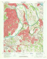
1968 Map of Nashville East
USGS Topo · Published 1971About this map
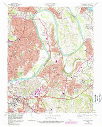
The Cumberland River carves a dramatic winding path through the heart of this landscape, defining the sharp meanders of Neelys Bend and Pennington Bend. In the late 1960s, these alluvial bottomlands remained largely open, while the suburban expansion of Nashville pushed eastward through Inglewood and Donelson. The infrastructure of a growing mid-century city is prominent, featuring the Nashville Metropolitan Airport and the sprawling grounds of the Filtration Plant.
Find a feature on this map
111 named features on this map. Tap any name to fly to it.
Don’t see what you’re looking for? This feature index may not catch every label — zoom into the map to look around manually.
Map Details
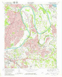
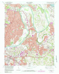
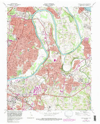
Editions of this 1968 Nashville East Map
5 editions found
Other maps of this area

1903 · Nashville
USGS Topo · 1:125,000

1931 · Ridgetop
USGS Topo · 1:62,500

1932 · Hermitage
USGS Topo · 1:62,500

1932 · Nashville
USGS Topo · 1:62,500

1935 · Ridgetop
USGS Topo · 1:62,500

1942 · Gallatin
USGS Topo · 1:100,000

1942 · Lebanon
USGS Topo · 1:100,000

1952 · Goodlettsville
USGS Topo · 1:24,000

1952 · Hendersonville
USGS Topo · 1:24,000

1952 · Hermitage
USGS Topo · 1:24,000