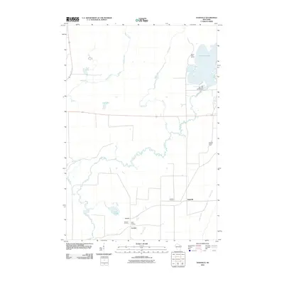
2010 Map of Nashville
USGS Topo · Published 2010About this map
The winding Wolf River defines the landscape of Forest County in this early 21st-century record, carving a serpentine path through the central and southern reaches of the quadrangle. Small rural clusters like Nashville, Lennox, and Jennings serve as the primary human touchpoints in an area otherwise dominated by hydrographic features and wetlands. Genealogists will find three distinct burial sites — Wolfgram Cemetery, Saint Marys Cemetery, and Nashville Cemetery — located in the southern portion of the sheet near these settlements.
Find a feature on this map
20 named features on this map. Tap any name to fly to it.
Don’t see what you’re looking for? This feature index may not catch every label — zoom into the map to look around manually.
Map Details
Editions of this 2010 Nashville Map
This is the sole edition of this map. No revisions or reprints were ever made.
Other maps of this area

1939 · Crandon
USGS Topo · 1:48,000

1940 · Monico
USGS Topo · 1:48,000

1941 · Crandon
USGS Topo · 1:48,000

1942 · Elcho
USGS Topo · 1:48,000

1942 · Pearson
USGS Topo · 1:48,000

1947 · Crandon
USGS Topo · 1:48,000

1950 · Monico
USGS Topo · 1:48,000

1950 · Elcho
USGS Topo · 1:48,000

1950 · Lily
USGS Topo · 1:48,000

1954 · Iron Mountain
USGS Topo · 1:250,000