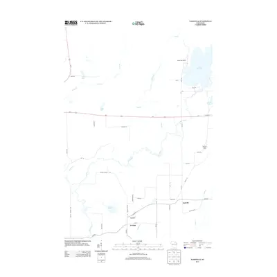
2013 Map of Nashville
USGS Topo · Published 2013About this map
The meandering Wolf River defines the central landscape of this Forest County region, carving a winding path through a network of creeks and northern lakes. Small settlements including Nashville, Lennox, and Jennings are concentrated in the southern portion of the quadrangle, connected by a grid of rural roads such as Cohwy-B and Cohwy-Z. These communities represent the modest residential clusters characteristic of the Northwoods, where local life is intrinsically linked to the surrounding water and timber resources.
Find a feature on this map
45 named features on this map. Tap any name to fly to it.
Don’t see what you’re looking for? This feature index may not catch every label — zoom into the map to look around manually.
Map Details
Editions of this 2013 Nashville Map
This is the sole edition of this map. No revisions or reprints were ever made.
Other maps of this area

1939 · Crandon
USGS Topo · 1:48,000

1940 · Monico
USGS Topo · 1:48,000

1941 · Crandon
USGS Topo · 1:48,000

1942 · Elcho
USGS Topo · 1:48,000

1942 · Pearson
USGS Topo · 1:48,000

1947 · Crandon
USGS Topo · 1:48,000

1950 · Monico
USGS Topo · 1:48,000

1950 · Elcho
USGS Topo · 1:48,000

1950 · Lily
USGS Topo · 1:48,000

1954 · Iron Mountain
USGS Topo · 1:250,000