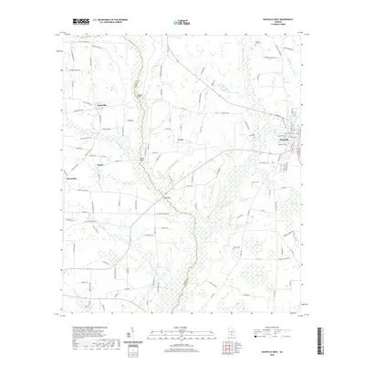
2020 Map of Nashville West
USGS Topo · Published 2020About this map
Nashville anchors the eastern edge of this Berrien County landscape, where the urban grid meets the agricultural reaches of south Georgia. The terrain is defined by the winding course of the Withlacoochee River, which serves as a natural boundary near Sandy Bluff Cem and District Pond. To the west, the New River carves a path through the lowlands, crossed by historically significant spans like Buckholts Bridge, Connell Bridge, and Long Bridge.
Find a feature on this map
125 named features on this map. Tap any name to fly to it.
Don’t see what you’re looking for? This feature index may not catch every label — zoom into the map to look around manually.
Map Details
Editions of this 2020 Nashville West Map
This is the sole edition of this map. No revisions or reprints were ever made.
Other maps of this area

1953 · Waycross
USGS Topo · 1:250,000

1958 · Waycross
USGS Topo · 1:250,000

1972 · Tenmile Bay
USGS Topo · 1:24,000

1973 · Adel
USGS Topo · 1:24,000

1973 · New Lois
USGS Topo · 1:24,000

1973 · Sapps Lake
USGS Topo · 1:24,000

1973 · Cecil
USGS Topo · 1:24,000

1973 · Nashville West
USGS Topo · 1:24,000

1973 · Lenox
USGS Topo · 1:24,000
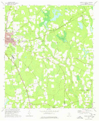
1978 · Nashville East
USGS Topo · 1:24,000