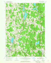
1953 Map of Nassau
USGS Topo · Published 1967About this map
Nassau and the surrounding townships of Sand Lake and Schodack are defined by a dense network of glacial lakes and small rural settlements in the early 1950s. The landscape is dotted with social and recreational landmarks of the era, such as the YMCA Camp and Totem Lodge on the shores of Burden Lake, alongside the Methodist Farm at Crooked Lake. These sites, coupled with numerous summer communities like Maple Grove and Braeside, reflect the region's mid-century role as a retreat for nearby urban centers.
Find a feature on this map
61 named features on this map. Tap any name to fly to it.
Don’t see what you’re looking for? This feature index may not catch every label — zoom into the map to look around manually.
Map Details
Editions of this 1953 Nassau Map
4 editions found
Other maps of this area

1888 · Berlin
USGS Topo · 1:62,500

1888 · Pittsfield
USGS Topo · 1:62,500

1890 · Pittsfield
USGS Topo · 1:62,500

1890 · Berlin
USGS Topo · 1:62,500

1893 · Troy
USGS Topo · 1:62,500

1893 · Pittsfield
USGS Topo · 1:62,500

1894 · Berlin
USGS Topo · 1:62,500

1894 · Pittsfield
USGS Topo · 1:62,500

1895 · Troy
USGS Topo · 1:62,500

1897 · Pittsfield
USGS Topo · 1:62,500