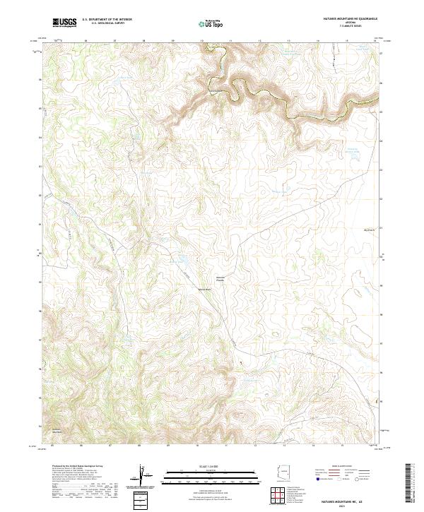
2021 Map of Natanes Mountains NE
USGS Topo · Published 2021About this map
The Black River carves a winding path along the boundary between Apache and Graham counties, defining the northern reaches of this high-altitude landscape. South of the river canyon, the Natanes Plateau rises toward the Natanes Mountains, creating a topography shaped by seasonal drainages like Clover Cr and Turkey Cr. The distribution of water sources, from the Black River Tank to remote outlets like Lost Spring, illustrates the historical reliance on catchment tanks and natural springs in this semi-arid highland. A network of unimproved roads, including Clover Rd and Co RD 1561, provides the primary access across Bobcat Basin and Big Prairie. The presence of the Pumping Station Tank suggests localized infrastructure for water management, likely serving the livestock or resource needs of this expansive ranching and wilderness area.
Find a feature on this map
37 named features on this map. Tap any name to fly to it.
Don’t see what you’re looking for? This feature index may not catch every label — zoom into the map to look around manually.
Map Details
Editions of this 2021 Natanes Mountains NE Map
This is the sole edition of this map. No revisions or reprints were ever made.
Other maps of this area

1954 · Clifton
USGS Topo · 1:250,000

1957 · Clifton
USGS Topo · 1:250,000

1958 · Clifton
USGS Topo · 1:250,000

1962 · Clifton
USGS Topo · 1:250,000
1967 · Sawbuck Mtn.
USGS Topo · 1:24,000
1967 · Maverick SW
USGS Topo · 1:24,000
1967 · West Poker Mtn.
USGS Topo · 1:24,000
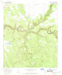
1967 · Elwood Canyon
USGS Topo · 1:24,000
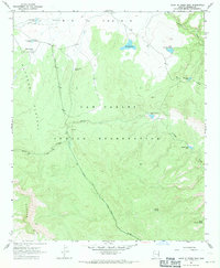
1967 · Point of Pines East
USGS Topo · 1:24,000
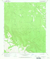
1967 · Natanes Mts NW
USGS Topo · 1:24,000