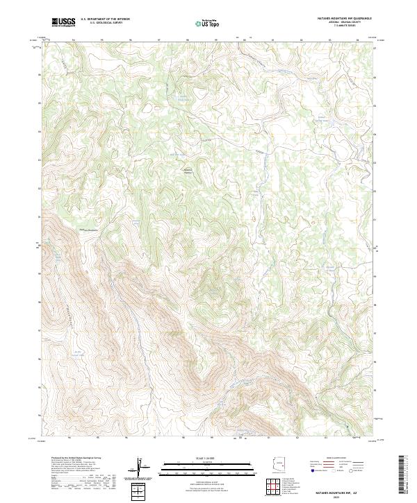
2023 Map of Natanes Mountains NW
USGS Topo · Published 2023About this map
Natanes Plateau and the Natanes Mountains define this high-elevation Graham County landscape, where water management is the primary marker of human activity. The map reveals an intricate network of named water sources and livestock infrastructure essential for ranching in this arid region, including Double Circle Tank, Bob Tail Tank, and In the Corner Tank. The terrain is deeply incised by drainages such as Sawmill Canyon and Skunk Canyon, which channel seasonal flows like Sawmill Creek and Little Rocky Creek.
Find a feature on this map
36 named features on this map. Tap any name to fly to it.
Don’t see what you’re looking for? This feature index may not catch every label — zoom into the map to look around manually.
Map Details
Editions of this 2023 Natanes Mountains NW Map
This is the sole edition of this map. No revisions or reprints were ever made.
Other maps of this area

1954 · Clifton
USGS Topo · 1:250,000

1954 · Mesa
USGS Topo · 1:250,000

1957 · Mesa
USGS Topo · 1:250,000

1957 · Clifton
USGS Topo · 1:250,000

1958 · Clifton
USGS Topo · 1:250,000

1958 · Mesa
USGS Topo · 1:250,000

1960 · Mesa
USGS Topo · 1:250,000

1962 · Clifton
USGS Topo · 1:250,000

1964 · Mesa
USGS Topo · 1:250,000

1966 · Georges Butte
USGS Topo · 1:24,000