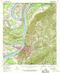
1965 Map of Natchez
USGS Topo · Published 1970About this map
The Mississippi River defines this landscape through a series of engineered changes and natural oxbows, most notably the Waterproof Cutoff (1884) and the Giles Cutoff (1933) which have reshaped the border between Mississippi and Louisiana. On the eastern bluffs, the city of Natchez serves as a hub of activity, surrounded by unincorporated communities like Morgantown and the historic capital of Washington, where Jefferson Military College is located. The map documents an era when the riverfront economy was transitioning, visible in the numerous riverbank revetments such as Natchez Front Revetment and Carthage Revet.
Find a feature on this map
112 named features on this map. Tap any name to fly to it.
Don’t see what you’re looking for? This feature index may not catch every label — zoom into the map to look around manually.
Map Details
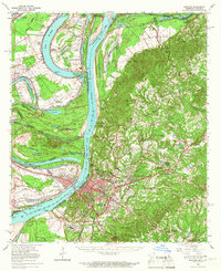
Editions of this 1965 Natchez Map
2 editions found
Other maps of this area

1909 · Sycamore Landing
USGS Topo · 1:24,000

1909 · Vidalia
USGS Topo · 1:24,000

1921 · Natchez
USGS Topo · 1:48,000

1922 · Natchez
USGS Topo · 1:62,500

1939 · Red Gum
USGS Topo · 1:62,500

1939 · Lorman
USGS Topo · 1:62,500

1939 · Natchez
USGS Topo · 1:62,500

1939 · Kingston
USGS Topo · 1:62,500

1939 · Deer Park
USGS Topo · 1:62,500

1939 · Locust Ridge
USGS Topo · 1:62,500