
1968 Map of Nathalie
USGS Topo · Published 1990About this map
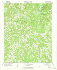
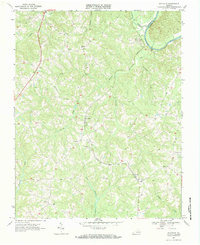
Nathalie serves as a central hub in this section of Halifax County, situated at a junction of roads and surrounding the local post office and several cemeteries. The landscape is defined by the winding course of the Roanoke River along the northeastern boundary, where it marks the border with Charlotte County. The topography is deeply incised by a dense network of watercourses, including Terrible Creek, Catawba Creek, and Childrey Creek, which have shaped the settlement patterns of rural communities like Lennig, Birch, and Liberty. These small crossroads hamlets often grew around spiritual centers, such as St Thomas Ch and Childrey Ch. Researchers can trace the mid-century road network connecting older plantations and family farms, noted by numerous unnamed graves and cemeteries scattered across the uplands between the creek branches.
Find a feature on this map
29 named features on this map. Tap any name to fly to it.
Don’t see what you’re looking for? This feature index may not catch every label — zoom into the map to look around manually.
Map Details
Editions of this 1968 Nathalie Map
3 editions found
Other maps of this area

1892 · Lynchburg
USGS Topo · 1:125,000

1892 · Appomattox
USGS Topo · 1:125,000

1947 · Roanoke
USGS Topo · 1:250,000

1953 · Greensboro
USGS Topo · 1:250,000

1954 · Greensboro
USGS Topo · 1:250,000

1954 · Halifax
USGS Topo · 1:62,500

1954 · Riceville
USGS Topo · 1:62,500

1956 · Brookneal
USGS Topo · 1:62,500

1956 · Gladys
USGS Topo · 1:62,500

1959 · Roanoke
USGS Topo · 1:250,000