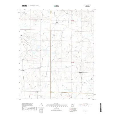
2020 Map of Nathan
USGS Topo · Published 2020About this map
The Muddy Fork and Briar Cr snake through the borderlands of Howard, Pike, and Hempstead counties in this 2020 map. Small settlements like Nathan, Corinth, and Highland anchor a landscape defined by timber and agriculture, connected by a network of county roads including Gum Tree Rd and Academy Rd. The presence of several historic burial sites, such as Corinth Cem, Mount Pleasant Cem, and Mount Tabor Cem, offers researchers a clear map of local genealogy across the rural township lines.
Find a feature on this map
94 named features on this map. Tap any name to fly to it.
Don’t see what you’re looking for? This feature index may not catch every label — zoom into the map to look around manually.
Map Details
Editions of this 2020 Nathan Map
This is the sole edition of this map. No revisions or reprints were ever made.
Other maps of this area

1906 · Caddo Gap
USGS Topo · 1:125,000

1951 · Mineral Springs North
USGS Topo · 1:24,000

1951 · Nashville
USGS Topo · 1:24,000

1951 · McCaskill
USGS Topo · 1:24,000

1953 · El Dorado
USGS Topo · 1:250,000

1955 · Little Rock
USGS Topo · 1:250,000

1956 · Little Rock
USGS Topo · 1:250,000

1957 · El Dorado
USGS Topo · 1:250,000

1958 · El Dorado
USGS Topo · 1:250,000

1960 · El Dorado
USGS Topo · 1:250,000