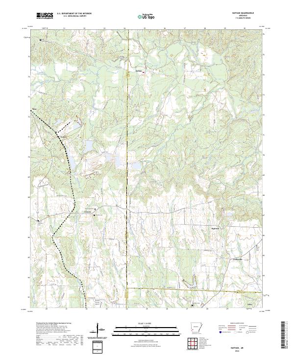
2024 Map of Nathan
USGS Topo · Published 2024About this map
The boundary lines of Howard, Pike, and Hempstead counties converge in this rural Arkansas landscape, anchored by the community of Nathan. The terrain is defined by a dense network of tributaries including Muddy Fork, Brushy Creek, and Bacon Creek, which flow through a region characterized by small settlements and scattered homesteads. Genealogical interests are well-served by the presence of several burial grounds, such as Old Corinth Cem and the nearby Corinth Cem in the town of Corinth, along with Mount Pleasant Cem to the west. Evidence of local infrastructure is found at the Howard County Airport and the small siding of Tokio in the southeast corner. The map traces the transition from the upland reaches of the Ouachita foothills toward the coastal plain, with winding country routes like Kizzia Farm Rd and Gyp Mine Rd providing access to the area's timber and agricultural lands.
Find a feature on this map
103 named features on this map. Tap any name to fly to it.
Don’t see what you’re looking for? This feature index may not catch every label — zoom into the map to look around manually.
Map Details
Editions of this 2024 Nathan Map
This is the sole edition of this map. No revisions or reprints were ever made.
Other maps of this area

1906 · Caddo Gap
USGS Topo · 1:125,000

1951 · Mineral Springs North
USGS Topo · 1:24,000

1951 · Nashville
USGS Topo · 1:24,000

1951 · McCaskill
USGS Topo · 1:24,000

1953 · El Dorado
USGS Topo · 1:250,000

1955 · Little Rock
USGS Topo · 1:250,000

1956 · Little Rock
USGS Topo · 1:250,000

1957 · El Dorado
USGS Topo · 1:250,000

1958 · El Dorado
USGS Topo · 1:250,000

1960 · El Dorado
USGS Topo · 1:250,000