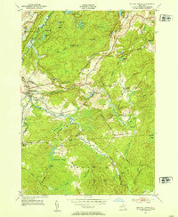
1951 Map of Natural Bridge
USGS Topo · Published 1953About this map
The Indian River winds through the borderlands of Jefferson and Lewis counties, defining a landscape where rural hamlets meet significant military and industrial footprints. In the early 1950s, the northern portion of this area was dominated by the Camp Drum Military Reservation, while the community of Natural Bridge served as a local hub near the New York Central railroad line. The map reveals a high density of wetlands and small water bodies, including the Black Ash Swamp and Ashcraft Pond, which likely influenced the placement of early roads like Slye Road and Aldrich Road. Local history is preserved in the location of the Hillside Cem and Blanchard Cem, alongside small settlements such as Diana Center and Blanchard Corners that anchored the townships of Diana, Wilna, and Croghan.
Find a feature on this map
65 named features on this map. Tap any name to fly to it.
Don’t see what you’re looking for? This feature index may not catch every label — zoom into the map to look around manually.
Map Details
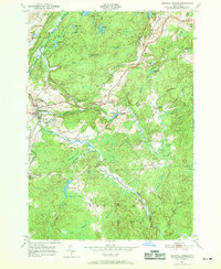
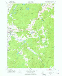
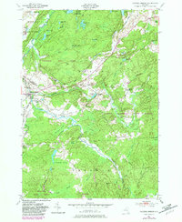
Editions of this 1951 Natural Bridge Map
4 editions found
Other maps of this area

1902 · Carthage
USGS Topo · 1:62,500

1904 · Carthage
USGS Topo · 1:62,500

1911 · Antwerp
USGS Topo · 1:62,500

1911 · Lowville
USGS Topo · 1:62,500

1913 · Lowville
USGS Topo · 1:62,500

1913 · Lake Bonaparte
USGS Topo · 1:62,500

1916 · Lake Bonaparte
USGS Topo · 1:62,500

1943 · Carthage
USGS Topo · 1:31,680

1948 · Ogdensburg
USGS Topo · 1:250,000

1949 · Antwerp
USGS Topo · 1:62,500