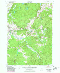
1951 Map of Natural Bridge
USGS Topo · Published 1983About this map
The Indian River winds through this North Country landscape, where the rugged terrain of Jefferson and Lewis Counties is defined by thick state forests and extensive wetlands. By the early 1950s, the area around Natural Bridge and Natural Bridge Station maintained a quiet, rural character, punctuated by crossroads like Blanchard Corners and Bartlett Corners. Significant portions of the northern territory are occupied by the Fort Drum Military Reservation, contrasting with the public lands of Onjebonge State Forest and Jadwin Memorial State Forest. The map reveals a high density of water features and named marshes, such as Black Ash Swamp and Blue Swamp, which dictated the winding paths of local thoroughfares like Slye Road and Beartown Road. Genealogists will find the Hillside Cem and Blanchard Cem near the historic settlements.
Find a feature on this map
70 named features on this map. Tap any name to fly to it.
Don’t see what you’re looking for? This feature index may not catch every label — zoom into the map to look around manually.
Map Details
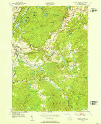
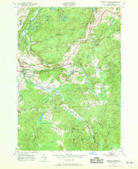
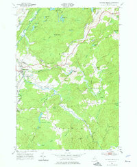
Editions of this 1951 Natural Bridge Map
4 editions found
Other maps of this area

1902 · Carthage
USGS Topo · 1:62,500

1904 · Carthage
USGS Topo · 1:62,500

1911 · Antwerp
USGS Topo · 1:62,500

1911 · Lowville
USGS Topo · 1:62,500

1913 · Lowville
USGS Topo · 1:62,500

1913 · Lake Bonaparte
USGS Topo · 1:62,500

1916 · Lake Bonaparte
USGS Topo · 1:62,500

1943 · Carthage
USGS Topo · 1:31,680

1948 · Ogdensburg
USGS Topo · 1:250,000

1949 · Antwerp
USGS Topo · 1:62,500