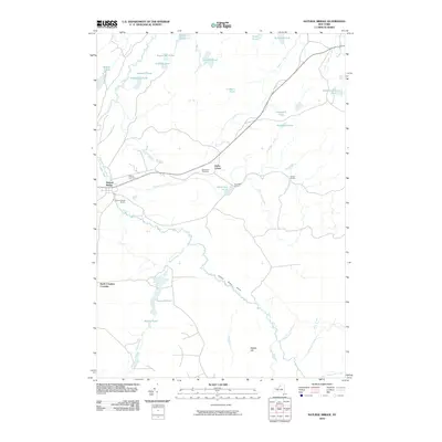
1951 Map of Natural Bridge
USGS Topo · Published 1969About this map
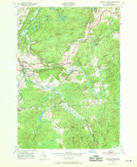
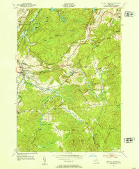
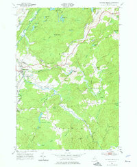
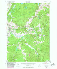
Indian River meanders across this landscape on the border of Lewis and Jefferson Counties, providing the geographic heart for several small North Country settlements during the early 1950s. The village of Natural Bridge and the nearby Natural Bridge Station serve as primary hubs, connected by the New York Central railroad line that tracks through the western portion of the quadrangle. Significant acreage in the north is occupied by the Camp Drum Military Reservation, a stark contrast to the small-scale family farm and timber lands surrounding rural crossroads like Blanchard Corners and Bartlett Corners. This survey highlights a water-dense environment dominated by names like Oniebonge Pond, Steam Mill Pond, and Black Ash Swamp, reflecting a landscape where drainage and elevation, such as the Hogsback, dictated the placement of early infrastructure like Aldrich Settlement Road and local burial grounds like Hillside Cem.
Find a feature on this map
61 named features on this map. Tap any name to fly to it.
Don’t see what you’re looking for? This feature index may not catch every label — zoom into the map to look around manually.
Map Details
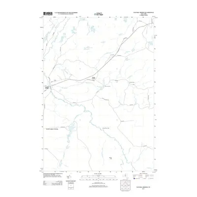
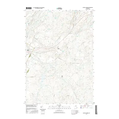
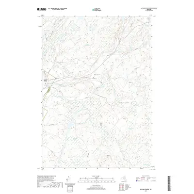
Editions of this 1951 Natural Bridge Map
4 editions found
Historical Maps of Wilna Through Time
6 maps found