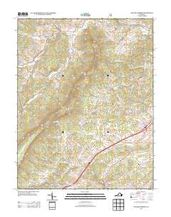
2013 Map of Natural Bridge
USGS Topo · Published 2013About this map
Natural Bridge serves as the central landmark for this section of Rockbridge County, where the convergence of Poague Run and Cedar Cr defines the local drainage. The settlement at Red Mills and the nearby Springfield area show a landscape shaped by agricultural history and early transit, with several family-named landmarks such as the Thomas S Dixon Bridge and the Ingleside Trout Farm near Oakdale. Northward, the terrain shifts into the hollows and hills of Tory Hollow and Saville Hill, carved by the winding paths of N Buffalo Cr and S Buffalo Cr. This modern survey reflects the enduring road network, from the rural stretches of Rural Valley Rd to the historic connection suggested by Broad Creek Church Rd near Fancy Hill.
Find a feature on this map
92 named features on this map. Tap any name to fly to it.
Don’t see what you’re looking for? This feature index may not catch every label — zoom into the map to look around manually.
Map Details
Editions of this 2013 Natural Bridge Map
This is the sole edition of this map. No revisions or reprints were ever made.
Other maps of this area

1894 · Natural Bridge
USGS Topo · 1:125,000

1894 · Lexington
USGS Topo · 1:125,000

1894 · Natural Bridge
USGS Topo · 1:62,500

1907 · Natural Bridge Special
USGS Topo · 1:62,500

1932 · Lexington
USGS Topo · 1:48,000

1935 · Buena Vista
USGS Topo · 1:48,000

1937 · Lexington
USGS Topo · 1:62,500

1939 · Buena Vista
USGS Topo · 1:62,500

1940 · Buena Vista
USGS Topo · 1:62,500

1946 · Millboro
USGS Topo · 1:62,500