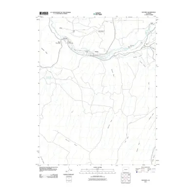
2011 Map of Naturita
USGS Topo · Published 2011About this map
Naturita sits at the heart of this high-desert mining landscape, where the San Miguel River carves through the red rock country of western Colorado. The settlement pattern here is tightly linked to the river valley and uranium-vanadium mining legacy, with West Vancorum and East Vancorum established to support local operations. The map documents an extensive network of mineral extraction sites flanking the valley, including the Ute Mine, Lexington Mine, and Fiddling Bill Mine.
Find a feature on this map
48 named features on this map. Tap any name to fly to it.
Don’t see what you’re looking for? This feature index may not catch every label — zoom into the map to look around manually.
Map Details
Editions of this 2011 Naturita Map
This is the sole edition of this map. No revisions or reprints were ever made.
Other maps of this area

1916 · Paradox Valley
USGS Topo · 1:125,000

1922 · Paradox Valley
USGS Topo · 1:125,000

1948 · Uravan
USGS Topo · 1:24,000

1948 · Naturita NW
USGS Topo · 1:24,000

1948 · Gypsum Gap
USGS Topo · 1:24,000

1949 · Gypsum Gap
USGS Topo · 1:24,000

1949 · Uravan
USGS Topo · 1:24,000

1949 · Naturita NW
USGS Topo · 1:24,000

1956 · Moab
USGS Topo · 1:250,000

1959 · Moab
USGS Topo · 1:250,000