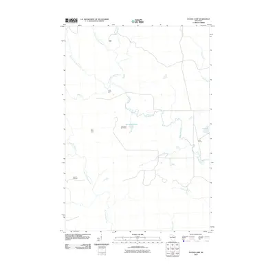
2010 Map of Natzke Camp
USGS Topo · Published 2010About this map
Natzke Camp and several numerically named outposts define the character of this Wisconsin woodland at the start of the 21st century. The landscape is dominated by the complex drainage systems of the New Wood River and its various branches, including the East Fork and Center Fork. Water management is evident through features like the New Wood H2.117 Dam, which creates the New Wood Flowage, and the Mravik E-7031 Dam situated along the North Fork Copper River. These hydraulic works suggest a history of managing local water levels for conservation or industrial purposes in a region characterized by numerous small tributaries like Shea Creek, Wolf Creek, and Krueger Creek. The proximity of Camp Twenty-five, Camp Twenty-seven, and Camp Twentysix Creek points toward the area's legacy as a site for forestry or seasonal encampments, connected by a network of local roads meeting at Averill Junction.
Find a feature on this map
18 named features on this map. Tap any name to fly to it.
Don’t see what you’re looking for? This feature index may not catch every label — zoom into the map to look around manually.
Map Details
Editions of this 2010 Natzke Camp Map
This is the sole edition of this map. No revisions or reprints were ever made.
Other maps of this area

1902 · Marathon
USGS Topo · 1:125,000

1945 · Rib Lake
USGS Topo · 1:48,000

1947 · Rib Lake
USGS Topo · 1:48,000

1949 · Rib Lake
USGS Topo · 1:48,000

1950 · Spirit Falls
USGS Topo · 1:48,000

1951 · Athens
USGS Topo · 1:48,000

1951 · Hamburg
USGS Topo · 1:48,000

1952 · Spirit Falls
USGS Topo · 1:48,000

1953 · Rice Lake
USGS Topo · 1:250,000

1954 · Iron Mountain
USGS Topo · 1:250,000