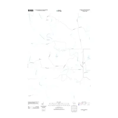
2013 Map of Natzke Camp
USGS Topo · Published 2013About this map
Natzke Camp and other numeric encampments such as Camp Twenty-five and Camp Twenty-seven define this rural landscape in Lincoln County. The drainage network of the New Wood River, including its Center Fork New Wood River and E Fork New Wood River, dominates the topography, leading into the New Wood Flowage. These water systems and the surrounding forest are accessible via a network of backcountry routes like Whiskey Bill Rd and Krueger Rd.
Find a feature on this map
26 named features on this map. Tap any name to fly to it.
Don’t see what you’re looking for? This feature index may not catch every label — zoom into the map to look around manually.
Map Details
Editions of this 2013 Natzke Camp Map
This is the sole edition of this map. No revisions or reprints were ever made.
Other maps of this area

1902 · Marathon
USGS Topo · 1:125,000

1945 · Rib Lake
USGS Topo · 1:48,000

1947 · Rib Lake
USGS Topo · 1:48,000

1949 · Rib Lake
USGS Topo · 1:48,000

1950 · Spirit Falls
USGS Topo · 1:48,000

1951 · Athens
USGS Topo · 1:48,000

1951 · Hamburg
USGS Topo · 1:48,000

1952 · Spirit Falls
USGS Topo · 1:48,000

1953 · Rice Lake
USGS Topo · 1:250,000

1954 · Iron Mountain
USGS Topo · 1:250,000