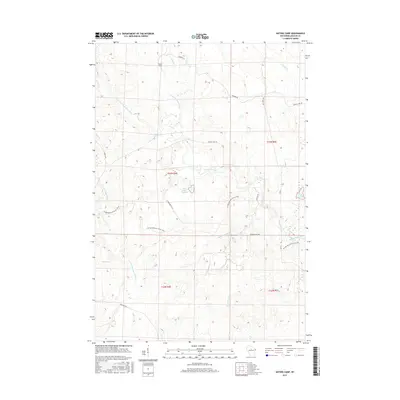
2015 Map of Natzke Camp
USGS Topo · Published 2015About this map
Natzke Camp sits at the northern edge of a landscape defined by the convergence of the New Wood River system in Lincoln County. This area is characterized by a dense network of watercourses, including the Center Fork New Wood River and E Fork New Wood River, which feed into the centrally located New Wood Flowage. The topography is shaped by these glacial drainages, punctuated by smaller bodies like June Lake and a Reservoir to the southwest.
Find a feature on this map
26 named features on this map. Tap any name to fly to it.
Don’t see what you’re looking for? This feature index may not catch every label — zoom into the map to look around manually.
Map Details
Editions of this 2015 Natzke Camp Map
This is the sole edition of this map. No revisions or reprints were ever made.
Other maps of this area

1902 · Marathon
USGS Topo · 1:125,000

1945 · Rib Lake
USGS Topo · 1:48,000

1947 · Rib Lake
USGS Topo · 1:48,000

1949 · Rib Lake
USGS Topo · 1:48,000

1950 · Spirit Falls
USGS Topo · 1:48,000

1951 · Athens
USGS Topo · 1:48,000

1951 · Hamburg
USGS Topo · 1:48,000

1952 · Spirit Falls
USGS Topo · 1:48,000

1953 · Rice Lake
USGS Topo · 1:250,000

1954 · Iron Mountain
USGS Topo · 1:250,000