
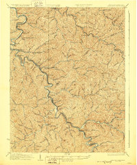
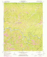
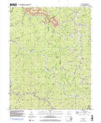
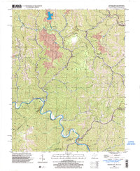
1928 Map of Naugatuck
USGS Topo · Published 1941About this map
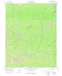
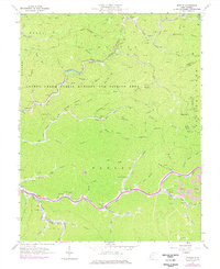
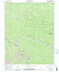
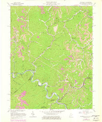
Tug Fork serves as the winding spine of this 1920s topography, carving a deep boundary between West Virginia and Kentucky. Along its banks, the Norfolk and Western RR tracks follow the river's tight bends, connecting coal-country settlements like Kermit, Naugatuck, and Warfield. The map reveals a landscape defined by sharp ridges and a dense network of mountain hollows, where life centered around small creeks and isolated schoolhouses.
Find a feature on this map
114 named features on this map. Tap any name to fly to it.
Don’t see what you’re looking for? This feature index may not catch every label — zoom into the map to look around manually.
Map Details
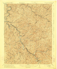
Editions of this 1928 Naugatuck Map
2 editions found
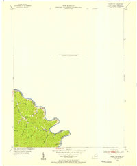
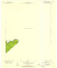
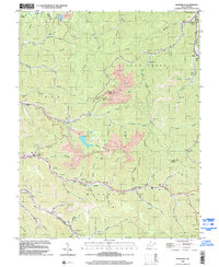
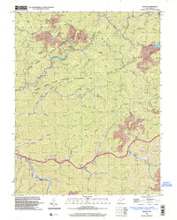
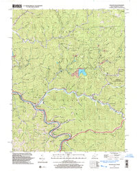
Historical Maps of Warfield Through Time
24 maps found

1910 Naugatuck
Mingo County, WV

1912 Naugatuck
Mingo County, WV

1915 Naugatuck
Mingo County, WV
1917 Naugatuck
Mingo County, WV

1926 Naugatuck
Mingo County, WV
1928 Naugatuck
Mingo County, WV
1954 Naugatuck
Mingo County, WV
1954 Wharncliffe
Mingo County, WV
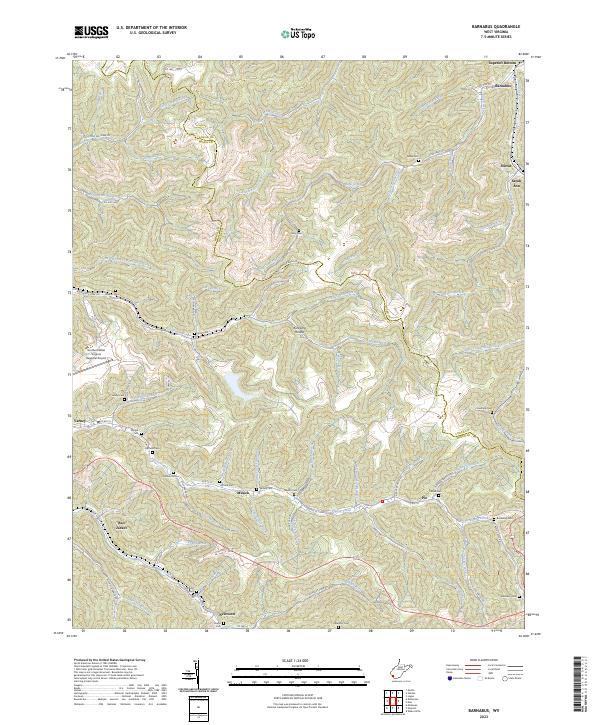
1963 Barnabus
Mingo County, WV
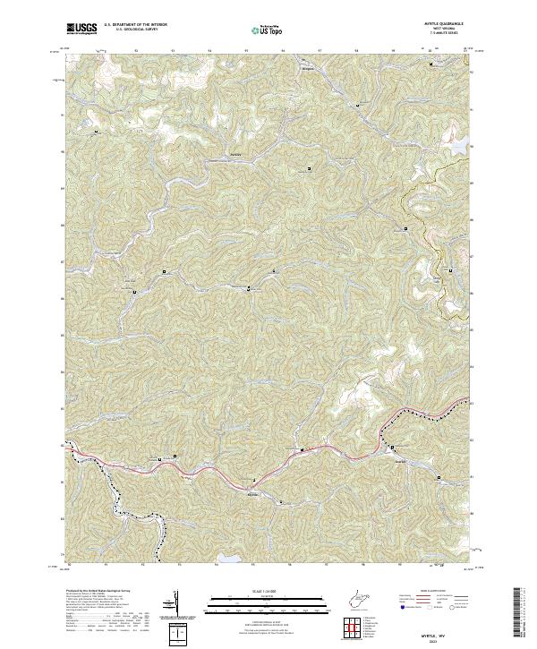
1963 Myrtle
Mingo County, WV
1963 Naugatuck
Mingo County, WV

1963 Trace
Mingo County, WV
1963 Wharncliffe
Mingo County, WV
1964 Majestic
Mingo County, WV
1996 Barnabus
Mingo County, WV
1996 Myrtle
Mingo County, WV
1997 Naugatuck
Mingo County, WV
1997 Trace
Mingo County, WV
2001 Wharncliffe
Mingo County, WV
2023 Barnabus
Mingo County, WV
2023 Myrtle
Mingo County, WV
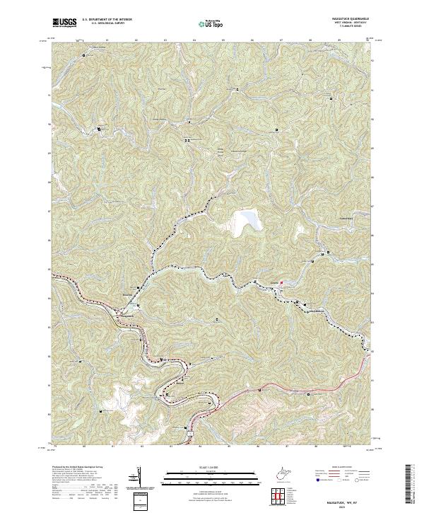
2023 Naugatuck
Mingo County, WV
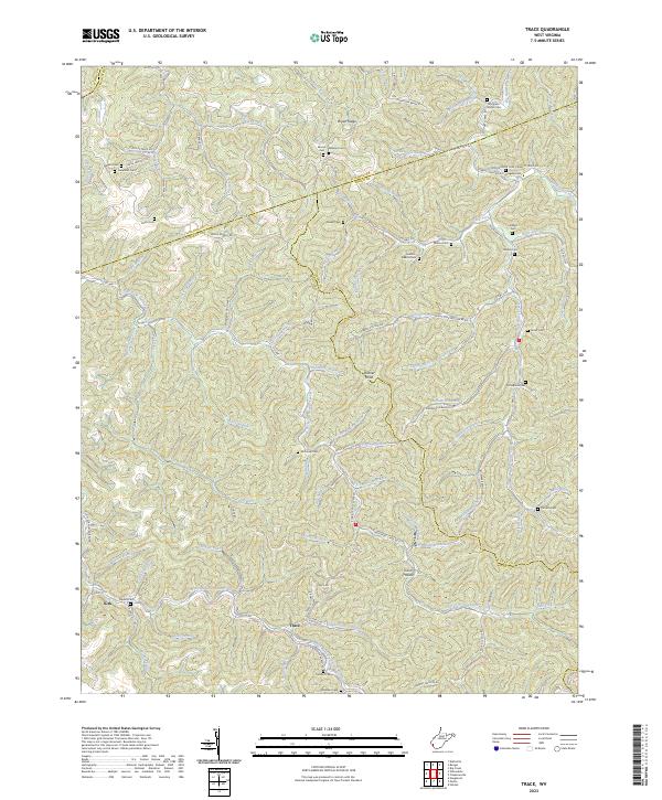
2023 Trace
Mingo County, WV
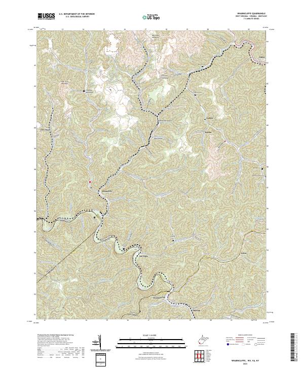
2023 Wharncliffe
Mingo County, WV