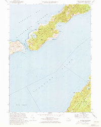
1972 Map of Naushon Island
USGS Topo · Published 1973About this map
Naushon Island and its smaller neighbor Pasque Island dominate this coastal survey, showcasing the private and natural character of the Elizabeth Islands chain in the early 1970s. The landscape is defined by internal roads like Main Road and North Road that thread through dense stands of Ramshead Woods and Black Woods. The shoreline is deeply articulated by geographic features such as the Tarpaulin Cove Lighthouse, which has stood watch over the anchorage since the 19th century, and the French Watering Place, a site of maritime historical significance. Across the deep waters of Vineyard Sound, the northern edge of Martha's Vineyard appears, including the heights of Gay Head and the coastal boundaries of Chilmark and Tisbury. Local genealogy is anchored by a Cem near the island's western end, while the interior topography reveals a high concentration of glacial kettle ponds like Blaney Pond and Molasses Pond.
Find a feature on this map
44 named features on this map. Tap any name to fly to it.
Don’t see what you’re looking for? This feature index may not catch every label — zoom into the map to look around manually.
Map Details
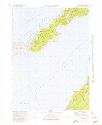
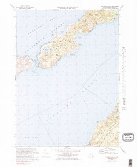
Editions of this 1972 Naushon Island Map
3 editions found
Other maps of this area

1885 · New Bedford
USGS Topo · 1:62,500

1886 · Falmouth
USGS Topo · 1:62,500

1887 · Gay Head
USGS Topo · 1:62,500

1888 · New Bedford
USGS Topo · 1:62,500

1888 · Falmouth
USGS Topo · 1:62,500

1889 · Gay Head
USGS Topo · 1:62,500

1893 · Gay Head
USGS Topo · 1:62,500

1893 · Falmouth
USGS Topo · 1:62,500

1893 · New Bedford
USGS Topo · 1:62,500

1915 · Falmouth
USGS Topo · 1:62,500