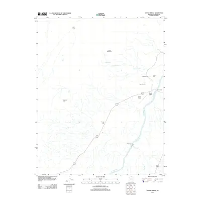
2011 Map of Navajo Bridge
USGS Topo · Published 2011About this map
Navajo Bridge spans the narrow gorge of the Colorado River, serving as a critical crossing point in this Coconino County landscape. The 2011 survey documents the small settlement of Marble Canyon and the Marble Canyon Airport, which support travelers and river expeditions entering the Grand Canyon region via Alt 89. The topography is dominated by the massive rise of the Vermilion Cliffs, punctuated by landmarks such as Powells Monument and Cathedral Rock.
Find a feature on this map
21 named features on this map. Tap any name to fly to it.
Don’t see what you’re looking for? This feature index may not catch every label — zoom into the map to look around manually.
Map Details
Editions of this 2011 Navajo Bridge Map
This is the sole edition of this map. No revisions or reprints were ever made.
Other maps of this area

1886 · Echo Cliffs
USGS Topo · 1:250,000

1891 · Echo Cliffs
USGS Topo · 1:250,000

1951 · Lees Ferry NE
USGS Topo · 1:24,000

1954 · Lees Ferry NW
USGS Topo · 1:24,000

1954 · Emmett Wash NE
USGS Topo · 1:24,000

1954 · Paria Plateau SE
USGS Topo · 1:24,000

1954 · Lees Ferry SE
USGS Topo · 1:24,000

1954 · Lees Ferry SW
USGS Topo · 1:24,000

1954 · Tanner Wash
USGS Topo · 1:62,500

1954 · Emmett Wash
USGS Topo · 1:62,500