2022 Map of Navarre
USGS Topo · Published 2022About this map
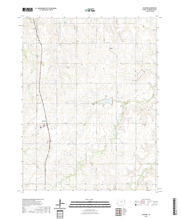
The unincorporated settlement of Navarre anchors this section of the central Kansas prairie, characterized by a grid of agricultural section roads and the winding headwaters of Carry Cr. This landscape reflects a century of midwestern farming tradition, where family homesteads are reached via named routes like Mink Rd and Paint Rd. The small community at Navarre centers on Strole St, with the nearby Navarre Cem serving as a local genealogical landmark. Further north, the tiny cluster at Pearl sits along Pearl Rd, illustrating the dispersed nature of rural Dickinson County residency. Notable for family history researchers, the Schelller Cem is located in the northern reaches of the quadrangle near the junction of 1900 Ave. The terrain is defined by the gentle drainage patterns of W Br Lyon Cr, which carves through the southern sections of the township.
Find a feature on this map
31 named features on this map. Tap any name to fly to it.
Don’t see what you’re looking for? This feature index may not catch every label — zoom into the map to look around manually.
Map Details
Editions of this 2022 Navarre Map
This is the sole edition of this map. No revisions or reprints were ever made.
