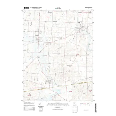
2013 Map of Navarre
USGS Topo · Published 2013About this map
The Tuscarawas River flows through the eastern portion of this Stark County landscape, anchoring the historic community of Navarre Village. The area is characterized by a dense network of family and community burial grounds, including Saint Clements Cem, the Old Lutheran Cem, and the Pigeon Run Cem, which offer significant touchpoints for genealogical research. To the west and south, the settlements of Brewster, Justus, and Beach City are linked by a complex web of rural roads and the W & Le RR.
Find a feature on this map
134 named features on this map. Tap any name to fly to it.
Don’t see what you’re looking for? This feature index may not catch every label — zoom into the map to look around manually.
Map Details
Editions of this 2013 Navarre Map
This is the sole edition of this map. No revisions or reprints were ever made.
Other maps of this area

1901 · Massillon
USGS Topo · 1:62,500

1901 · Canton
USGS Topo · 1:62,500

1903 · Massillon
USGS Topo · 1:62,500

1903 · Canton
USGS Topo · 1:62,500

1912 · Dover
USGS Topo · 1:62,500

1914 · Navarre
USGS Topo · 1:62,500

1944 · Navarre
USGS Topo · 1:62,500

1944 · Dover
USGS Topo · 1:62,500

1951 · Canton
USGS Topo · 1:250,000

1951 · Bolivar
USGS Topo · 1:24,000