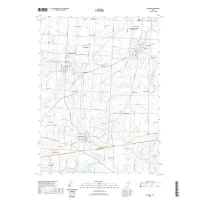
2019 Map of Navarre
USGS Topo · Published 2019About this map
Brewster and its rail connections via the Wheeling and Lake Erie railroad anchor this survey of the Stark and Tuscarawas county border. The landscape is defined by the winding courses of Sugar Creek and the Tuscarawas River, which frame several small settlements including Justus, Navarre, and Beach City. The distribution of local landmarks suggests a legacy of community-centric development, with numerous cemeteries such as Old Lutheran Cem and Saint Clements Cem located near established town centers.
Find a feature on this map
143 named features on this map. Tap any name to fly to it.
Don’t see what you’re looking for? This feature index may not catch every label — zoom into the map to look around manually.
Map Details
Editions of this 2019 Navarre Map
This is the sole edition of this map. No revisions or reprints were ever made.
Other maps of this area

1901 · Massillon
USGS Topo · 1:62,500

1901 · Canton
USGS Topo · 1:62,500

1903 · Massillon
USGS Topo · 1:62,500

1903 · Canton
USGS Topo · 1:62,500

1912 · Dover
USGS Topo · 1:62,500

1914 · Navarre
USGS Topo · 1:62,500

1944 · Navarre
USGS Topo · 1:62,500

1944 · Dover
USGS Topo · 1:62,500

1951 · Canton
USGS Topo · 1:250,000

1951 · Bolivar
USGS Topo · 1:24,000