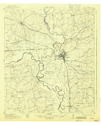
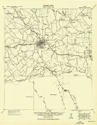
1914 Map of Navasota
USGS Topo · Published 1942About this map
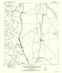
Navasota serves as the central hub of this survey, where the convergence of the Houston and Texas Central RR and the International and Great Northern RR created a vital interior rail junction. The map illustrates a landscape defined by the winding Brazos River and Navasota River, with numerous family-named farms and industrial sites such as Wilsons Gin dotting the fertile bottomlands. Along the river banks, landmarks like Hidalgo Falls and the Washington Bridge connect Grimes and Brazos counties near the historic site of Washington. Education and community life are well-documented through a network of rural institutions, including Grange Hall School, Sand Prairie School, and West Academy, alongside small rail stops like Nelleva Junction and Millican.
Find a feature on this map
75 named features on this map. Tap any name to fly to it.
Don’t see what you’re looking for? This feature index may not catch every label — zoom into the map to look around manually.
Map Details
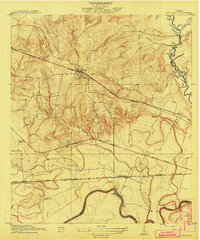
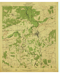
Editions of this 1914 Navasota Map
2 editions found
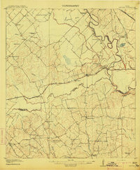
Other maps of this area
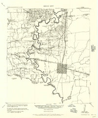
1913 · Millican
USGS Topo · 1:31,680
1914 · Gay Hill
USGS Topo · 1:62,500
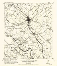
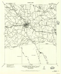
1914 · Navasota
USGS Topo · 1:62,500
1930 · Brenham
USGS Topo · 1:62,500

1954 · Beaumont
USGS Topo · 1:250,000

1954 · Austin
USGS Topo · 1:250,000
1956 · Bryan
USGS Topo · 1:62,500
1956 · Hempstead
USGS Topo · 1:62,500
1956 · Brenham
USGS Topo · 1:62,500
1956 · Carlos
USGS Topo · 1:62,500