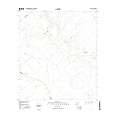
2016 Map of Navidad
USGS Topo · Published 2016About this map
The Lavaca River meanders across this rural Jackson County landscape, its course defined by oxbows like Horseshoe Lake and several prominent tributaries including Knopp Br and Beard Br. The settlement of Navidad serves as a central point in an area where the terrain transitions from river bottomlands to low hills incised by drainages such as Roden Hollow and James Hollow.
Find a feature on this map
34 named features on this map. Tap any name to fly to it.
Don’t see what you’re looking for? This feature index may not catch every label — zoom into the map to look around manually.
Map Details
Editions of this 2016 Navidad Map
This is the sole edition of this map. No revisions or reprints were ever made.
Other maps of this area

1951 · Inez NW
USGS Topo · 1:24,000

1951 · Inez
USGS Topo · 1:24,000

1952 · Edna
USGS Topo · 1:24,000

1953 · Beeville
USGS Topo · 1:250,000

1953 · Seguin
USGS Topo · 1:250,000

1956 · Beeville
USGS Topo · 1:250,000

1958 · Seguin
USGS Topo · 1:250,000

1960 · Beeville
USGS Topo · 1:250,000

1963 · Mount Olive
USGS Topo · 1:24,000

1964 · Cordele
USGS Topo · 1:24,000