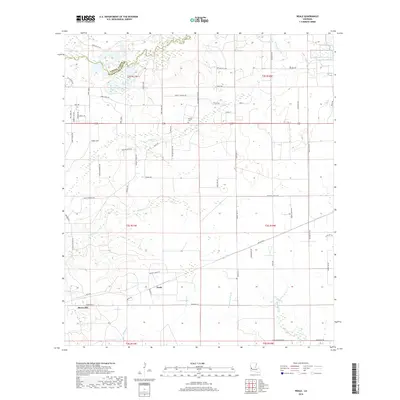
2018 Map of Neale
USGS Topo · Published 2018About this map
The boundary between Vernon Parish and Beauregard Parish cuts through a landscape defined by the winding waters of Bayou Anacoco and Trout Cr. This 2018 survey reveals a rural network of family-named roads and loops, including Hamp Jones Rd, Bob Carsey Rd, and Paul McMillian Rd, indicating long-standing local landholdings. The settlement of Merryville sits in the southwestern corner, while the smaller community of Neale is positioned centrally among the tributaries.
Find a feature on this map
69 named features on this map. Tap any name to fly to it.
Don’t see what you’re looking for? This feature index may not catch every label — zoom into the map to look around manually.
Map Details
Editions of this 2018 Neale Map
This is the sole edition of this map. No revisions or reprints were ever made.
Other maps of this area

1946 · Merryville
USGS Topo · 1:31,680

1947 · Singer
USGS Topo · 1:31,680

1947 · Pujo
USGS Topo · 1:31,680

1947 · DeRidder
USGS Topo · 1:31,680

1947 · Rosepine
USGS Topo · 1:31,680

1947 · Knight
USGS Topo · 1:31,680

1947 · Bivens
USGS Topo · 1:31,680

1947 · Beckwith School
USGS Topo · 1:31,680

1949 · Evans
USGS Topo · 1:31,680

1952 · Lake Charles
USGS Topo · 1:250,000