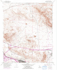
1953 Map of Nebo
USGS Topo · Published 1971About this map
The Mojave River valley serves as a vital logistics and transport artery in this mid-century desert landscape, dominated by the massive Marine Corps Supply Center complex. While Barstow anchors the western edge, the map reveals the extensive military presence at Nebo and the Marine Corps Supply Center Area (Yermo). The convergence of the Atchison Topeka and Santa Fe and Union Pacific railroads underscores the area's importance as a rail hub, while the desert hills to the north are pocketed with mining history. Prominent terrain features like the Calico Mountains, Lead Mountain, and Elephant Mountain are marked with numerous industrial artifacts, including the Barium Queen Mine, Silver Bow Mine, and several unnamed shafts and prospects, illustrating a landscape defined by both strategic defense and mineral extraction.
Find a feature on this map
25 named features on this map. Tap any name to fly to it.
Don’t see what you’re looking for? This feature index may not catch every label — zoom into the map to look around manually.
Map Details
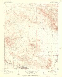
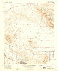
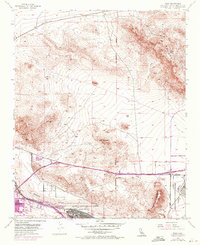
Editions of this 1953 Nebo Map
4 editions found
Other maps of this area

1915 · Searles Lake
USGS Topo · 1:250,000

1932 · Barstow
USGS Topo · 1:125,000

1933 · Avawatz Mountains
USGS Topo · 1:250,000

1934 · Barstow
USGS Topo · 1:125,000

1947 · Trona
USGS Topo · 1:250,000

1948 · Trona
USGS Topo · 1:250,000

1948 · Lane Mountain
USGS Topo · 1:62,500

1951 · Lane Mountain
USGS Topo · 1:62,500

1953 · San Bernardino
USGS Topo · 1:250,000

1953 · Yermo
USGS Topo · 1:24,000