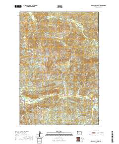
2020 Map of Necanicum Junction
USGS Topo · Published 2020About this map
Necanicum Junction sits at the confluence of several vital coastal waterways in Clatsop County, serving as a focal point for the complex drainage basins of the Lewis and Clark River and the Necanicum River. The landscape is defined by the headwaters of numerous creeks, including Little Humbug Cr and Klootchie Cr, which carve through the elevations marked by Davis Point and Twin Peaks. This survey reflects the modern road network, where Hamlet Rd and Co Rd 10 provide access through the dense topography of the Oregon Coast Range. The intricate naming of water features like Bergsruik Cr and Little Joe Cr suggests a history of local land use and family-named landmarks tied to the region's timber and riparian environments.
Find a feature on this map
28 named features on this map. Tap any name to fly to it.
Don’t see what you’re looking for? This feature index may not catch every label — zoom into the map to look around manually.
Map Details
Editions of this 2020 Necanicum Junction Map
This is the sole edition of this map. No revisions or reprints were ever made.
Other maps of this area

1919 · Astoria
USGS Topo · 1:62,500

1939 · Astoria
USGS Topo · 1:62,500

1939 · Saddle Mountain
USGS Topo · 1:62,500

1940 · Svensen
USGS Topo · 1:62,500

1940 · Cape Falcon
USGS Topo · 1:62,500

1943 · Saddle Mtn.
USGS Topo · 1:62,500

1948 · Vancouver
USGS Topo · 1:250,000

1949 · Tillamook Head
USGS Topo · 1:24,000

1949 · Green Mountain
USGS Topo · 1:24,000

1949 · Gearhart
USGS Topo · 1:24,000