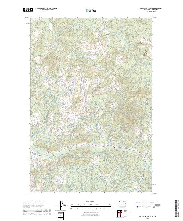
2024 Map of Necanicum Junction
USGS Topo · Published 2024About this map
Necanicum River drainage systems define this section of Clatsop County, where the landscape is characterized by a dense network of watercourses and timber access routes. The Necanicum Mainline serves as a primary artery through the southern portion of the map, tracing the valley floor near the North Fork Necanicum River. To the north, the headwaters of the Lewis and Clark River and its various forks, including the Little South Fork Lewis and Clark River, carve through the terrain toward the Columbia River. High points like Davis Point and Twin Peaks provide significant landmarks for understanding the local topography.
Find a feature on this map
31 named features on this map. Tap any name to fly to it.
Don’t see what you’re looking for? This feature index may not catch every label — zoom into the map to look around manually.
Map Details
Editions of this 2024 Necanicum Junction Map
This is the sole edition of this map. No revisions or reprints were ever made.
Other maps of this area

1919 · Astoria
USGS Topo · 1:62,500

1939 · Astoria
USGS Topo · 1:62,500

1939 · Saddle Mountain
USGS Topo · 1:62,500

1940 · Svensen
USGS Topo · 1:62,500

1940 · Cape Falcon
USGS Topo · 1:62,500

1943 · Saddle Mtn.
USGS Topo · 1:62,500

1948 · Vancouver
USGS Topo · 1:250,000

1949 · Tillamook Head
USGS Topo · 1:24,000

1949 · Green Mountain
USGS Topo · 1:24,000

1949 · Gearhart
USGS Topo · 1:24,000