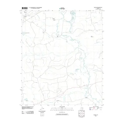
2010 Map of Neches
USGS Topo · Published 2010About this map
The Neches River meanders through a landscape defined by its intricate wetlands and timbered heights in Anderson County. The settlement of Neches sits in the northwest corner near Daly Mountain, while the southern reaches of the map show the smaller locales of Jarvis and Herring. This geography is shaped by the river's dynamic floodplain, which has created a series of distinct water bodies such as Alligator Lake, Horseshoe Lake, and Dead Water Lake.
Find a feature on this map
40 named features on this map. Tap any name to fly to it.
Don’t see what you’re looking for? This feature index may not catch every label — zoom into the map to look around manually.
Map Details
Editions of this 2010 Neches Map
This is the sole edition of this map. No revisions or reprints were ever made.
Other maps of this area

1949 · Palestine
USGS Topo · 1:62,500

1950 · Palestine
USGS Topo · 1:62,500

1951 · Elkhart
USGS Topo · 1:62,500

1951 · Jacksonville
USGS Topo · 1:62,500

1952 · Slocum
USGS Topo · 1:62,500

1953 · Palestine
USGS Topo · 1:250,000

1957 · Palestine
USGS Topo · 1:250,000

1981 · Palestine
USGS Topo · 1:100,000
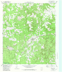
1982 · Maydelle
USGS Topo · 1:24,000
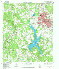
1982 · Jacksonville West
USGS Topo · 1:24,000