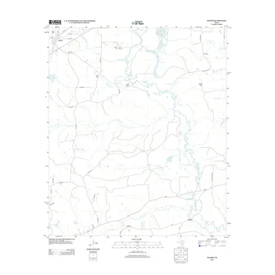
2013 Map of Neches
USGS Topo · Published 2013About this map
The Neches River winds through the heart of this East Texas landscape, defining a wetland corridor of oxbows and bottomlands including Horseshoe Lake, Alligator Lake, and Dead Water Lake. The settlement of Neches sits in the northwest corner near Daly Mtn, while further south, the communities of Jarvis and Herring are positioned along the primary east-west road corridor. Genealogists will find the Caldwell Cem and White Oak Cem located near the junction of White Oak Cr and Turtle Slough. The topography is marked by several prominent rises such as Flint Hill and White Mtn, contrasting with the intricate network of tributaries like Hurricane Cr and Beech Cr that drain toward the main river channel.
Find a feature on this map
50 named features on this map. Tap any name to fly to it.
Don’t see what you’re looking for? This feature index may not catch every label — zoom into the map to look around manually.
Map Details
Editions of this 2013 Neches Map
This is the sole edition of this map. No revisions or reprints were ever made.
Other maps of this area

1949 · Palestine
USGS Topo · 1:62,500

1950 · Palestine
USGS Topo · 1:62,500

1951 · Elkhart
USGS Topo · 1:62,500

1951 · Jacksonville
USGS Topo · 1:62,500

1952 · Slocum
USGS Topo · 1:62,500

1953 · Palestine
USGS Topo · 1:250,000

1957 · Palestine
USGS Topo · 1:250,000

1981 · Palestine
USGS Topo · 1:100,000
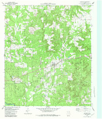
1982 · Maydelle
USGS Topo · 1:24,000
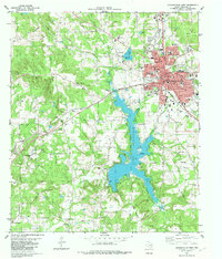
1982 · Jacksonville West
USGS Topo · 1:24,000