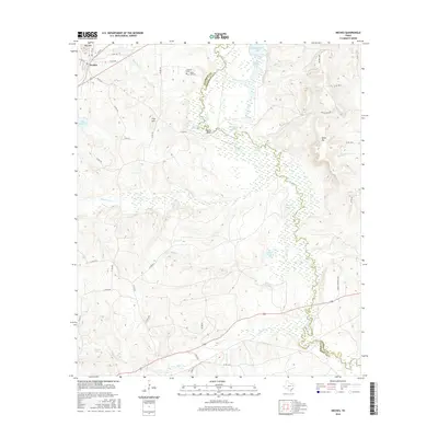
2016 Map of Neches
USGS Topo · Published 2016About this map
The Neches River winds through the heart of the East Texas piney woods, forming a complex boundary between Anderson and Cherokee counties. Near the settlement of Neches, the landscape is defined by a dense network of water bodies and marshy lowlands, including Dead Water Lake, Buzzard Slough, and Alligator Lake. These features, along with Indian Pond and Turtle Slough, reflect the flood-prone nature of the river valley and its vital role in the local ecology.
Find a feature on this map
50 named features on this map. Tap any name to fly to it.
Don’t see what you’re looking for? This feature index may not catch every label — zoom into the map to look around manually.
Map Details
Editions of this 2016 Neches Map
This is the sole edition of this map. No revisions or reprints were ever made.
Other maps of this area

1949 · Palestine
USGS Topo · 1:62,500

1950 · Palestine
USGS Topo · 1:62,500

1951 · Elkhart
USGS Topo · 1:62,500

1951 · Jacksonville
USGS Topo · 1:62,500

1952 · Slocum
USGS Topo · 1:62,500

1953 · Palestine
USGS Topo · 1:250,000

1957 · Palestine
USGS Topo · 1:250,000

1981 · Palestine
USGS Topo · 1:100,000
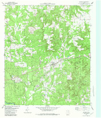
1982 · Maydelle
USGS Topo · 1:24,000
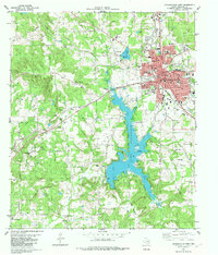
1982 · Jacksonville West
USGS Topo · 1:24,000