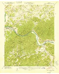
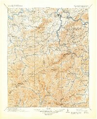
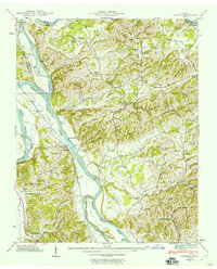
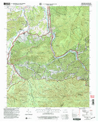
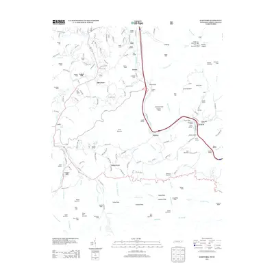
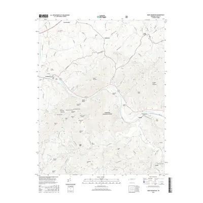
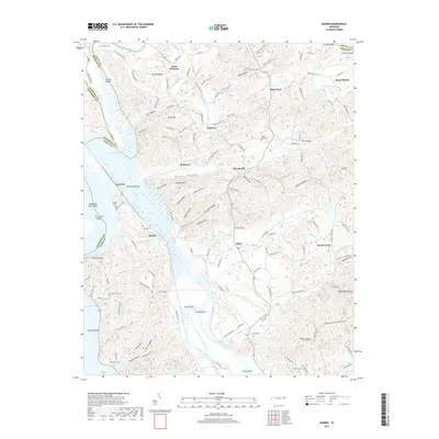
1940 Map of Neddy Mountain
USGS Topo · Published 1940About this map
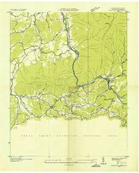
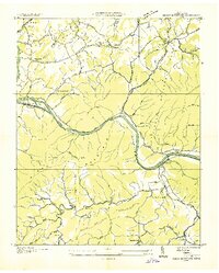
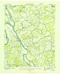
The French Broad River snakes through the heart of the Cherokee National Forest, carving a deep valley that dictates the human geography of Cocke County in 1940. This survey captures a rural landscape where small mountain communities like Del Rio and Baltimore are connected by the Southern railroad line and winding roads. The density of small one-room schools, such as Allen Chapel Sch and Manning Chapel Sch, and country churches like Maple Grove Ch, reflects a self-contained social life before mid-century consolidation.
Find a feature on this map
40 named features on this map. Tap any name to fly to it.
Don’t see what you’re looking for? This feature index may not catch every label — zoom into the map to look around manually.
Map Details
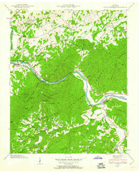
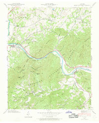
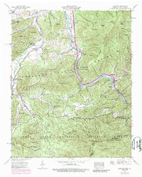
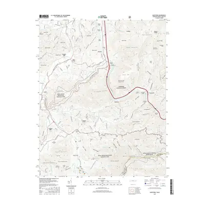
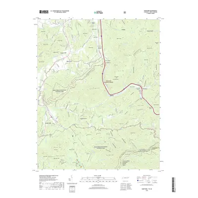
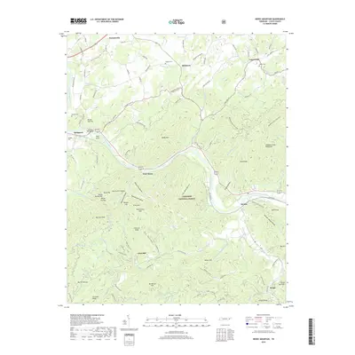
Editions of this 1940 Neddy Mountain Map
4 editions found
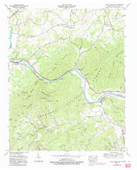
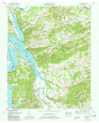
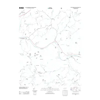
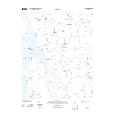
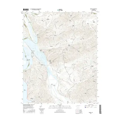
Historical Maps of West Myers Through Time
26 maps found
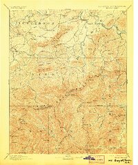
1893 Mt Guyot
Cocke County, TN
1912 Mt. Guyot
Cocke County, TN
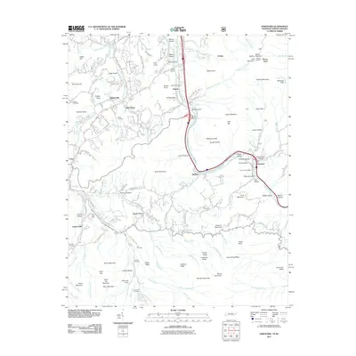
1935 Hartford
Cocke County, TN
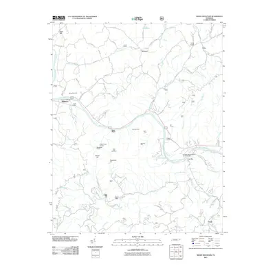
1935 Neddy Mountain
Cocke County, TN
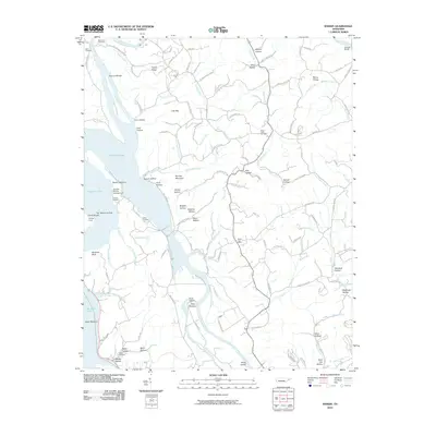
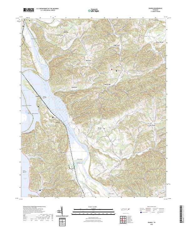
1935 Rankin
Cocke County, TN

1935 Small
Cocke County, TN
1939 Rankin
Cocke County, TN
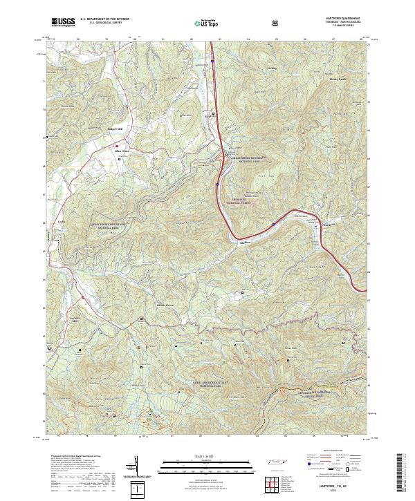
1940 Hartford
Cocke County, TN
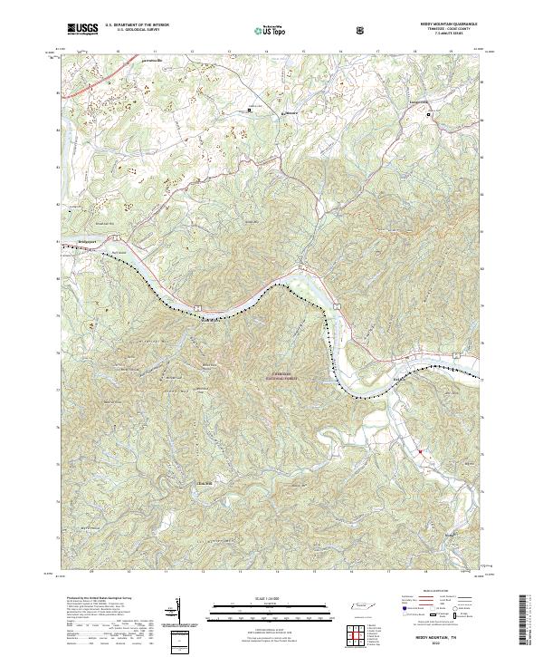
1940 Neddy Mountain
Cocke County, TN
1961 Rankin
Cocke County, TN
2003 Hartford
Cocke County, TN
2010 Rankin
Cocke County, TN
2011 Hartford
Cocke County, TN
2011 Neddy Mountain
Cocke County, TN
2013 Hartford
Cocke County, TN
2013 Neddy Mountain
Cocke County, TN
2013 Rankin
Cocke County, TN
2016 Hartford
Cocke County, TN
2016 Neddy Mountain
Cocke County, TN
2016 Rankin
Cocke County, TN
2019 Hartford
Cocke County, TN
2019 Neddy Mountain
Cocke County, TN
2019 Rankin
Cocke County, TN
2022 Hartford
Cocke County, TN
2022 Neddy Mountain
Cocke County, TN
2022 Rankin
Cocke County, TN